
2016 Nav-X Challenge @ Briones
Quick Info
Date: Sunday April 24, 2016
Location: Briones Regional Park, Martinez, California
Event Director: Mats Jansson (contact)
Course Directors: Bill and Heidi Cusworth
Courses: 2 hr and 4 hr Map Trek (what is Map Trekking? - see below)
Produced in cooperation with Gold Country Orienteers and Bay Area Orienteering Club
List of Registered Entrants
Follow this link to an updated list of entrants.
Event summary
The first event in the inaugural 2016 Nav-X Challenge series brings us to a Wilderness a mere 40 minutes from downtown San Francisco (70 min from Sacramento). Briones Regional Park is a vast wild area with oak studded hills, tucked in between Martinez and Lafayette, West of Walnut Creek. Using a high quality map produced by the Bay Area Orienteering Club, course setters Bill and Heidi Cusworth will be treating us to a Map Trekking adventure sure to please any navigation sports enthusiast, whether you are looking for a scenic 2 hr hike in the green hills, or a 4 hr endurance race against some of the best in the West.
Schedule
| Time | |
|---|---|
| 8:00 - 9:15 | Event Check-in (and Late Registration) |
| 8:15 | Maps available |
| 8:15 - 9:15 | First Timer Assistance with Maps |
| 9:00 - 9:15 | Event Briefing |
| 9:30 | Mass Start |
| 11:30 | Finish for 2h participants |
| 12:15 | 2h Awards |
| 1:30 | Finish for 4h participants |
| 2:15 | 4h Awards |
New to Map Trekking?
Map Trekking is a “Navigation Sport” that has elements of a few other sports and activities like Trail Running, Fell Running (XC hill running), Orienteering and Geo Caching. More specifically, Map Trekking is a time-based challenge, 2 hrs or more in length, where participants try to score as many points as possible within the time allowed, by visiting checkpoints scattered across a vast, wild landscape. Participants are free to decide which checkpoints to visit, and in what order. Typically, a set time is allowed before the start for participants to study the map, and determine their route. Participants travel on foot and navigate their chosen route using the map and a compass (No GPS allowed except for recording your track). A late finish comes with point penalties, adding another layer of challenge to the sport. Checkpoints vary in difficulty and the point value reflects the same, so that easy ones yield a lower point value than difficult ones. To encourage beginners, course setters typically provide plenty of easy checkpoints near the start and finish location.
Venue / Park Info
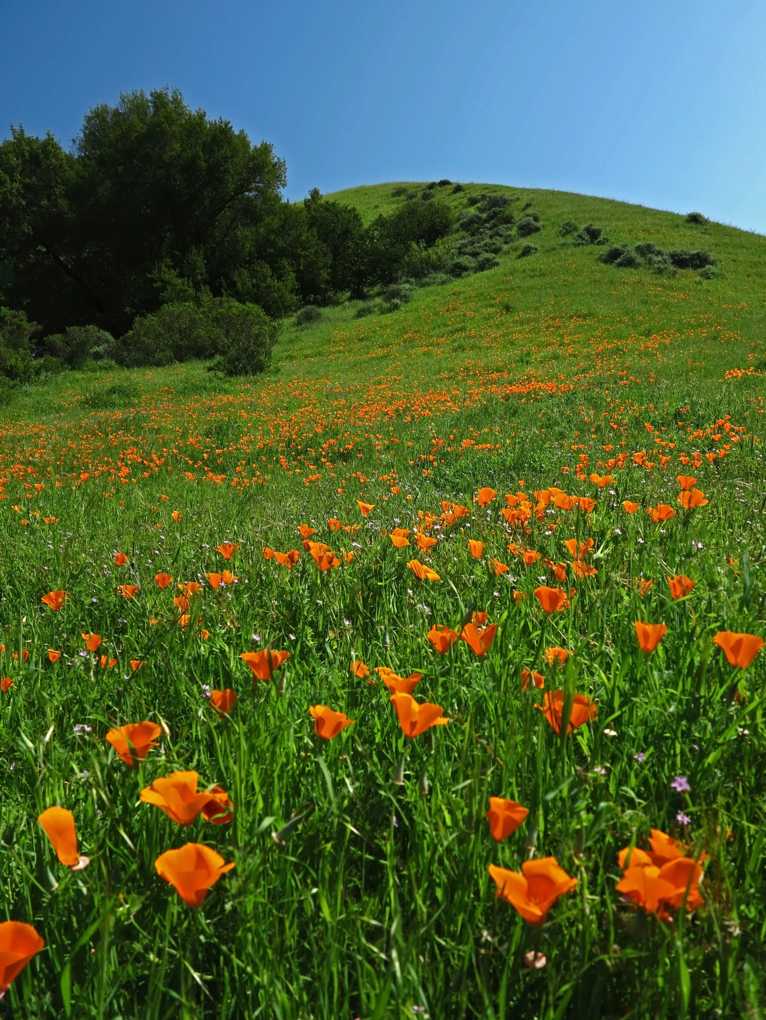
With its rolling, grassy hills and secluded, shady canyons, Briones is a secret wilderness surrounded by the towns of central Contra Costa County. Although the park is close to Lafayette, Walnut Creek, Pleasant Hill, Concord, and Martinez, there are peaks within it from which you can see only park and watershed lands for miles in every direction.
From Briones Peak, the highest point in the park, there are panoramic views of Mount Diablo and the Diablo Valley to the east, the Sacramento River and Delta to the north, the East Bay hills and Mt. Tamalpais to the west, and Las Trampas Regional Wilderness to the south.
About the Map
The map we will be using for this Map Trek is a high quality Orienteering map produced by the Bay Area Orienteering Club. It is scale 1:15,000, meaning that 1 cm on the map is 150 m in the terrain. The contour interval (elevation between two contour lines) is 7.5 m (~24 ft). Here is a sample of what it looks like:

Learn more about orienteering type maps here
Courses and Divisions
There will be two courses offered:
2 hr Map Trek
4 hr Map Trek.
Participants can compete in the following divisions:
Junior Mixed (Under 20, 1-5 person teams, All-male or mixed Male-Female)
Junior Female (Under 20, 1-5 person teams, All-female)
Open Mixed (20-49, 1-5 person teams, All-male or mixed Male-Female)
Open Female (20-49, 1-5 person teams, All-female)
Masters Mixed (50 and up, 1-5 person teams, All-male or mixed Male-Female)
Masters Female (50 and up, 1-5 person teams, All-female)
Results from this event count toward the Series Championship.
Price
Early fees (25% off) through April 10th (via online registration). Regular fee is April 11th - 22nd (via online registration). Late fee is day of registration, cash only.
Discounts for orienteering club members (BAOC/GCO/etc...), $4 for adults and $2 for juniors. Discount applied during online registration process.
| Early Registration | Regular Registration | Late Registration | ||||
|---|---|---|---|---|---|---|
| Course Length | 2h | 4h | 2h | 4h | 2h | 4h |
| Junior (under 20) | $15 | $25 | $17 | $27 | $19 | $31 |
| Adult (20+) | $25 | $41 | $28 | $45 | $31 | $51 |
What to Bring
Wear what you would normally wear for a strenuous hike in April in Northern California. Here are some tips:
Sturdy shoes with a good tread
Long pants or gaiters
Visor hat
Compass (you may rent one for $1 + $5 refundable deposit if you don’t have one)
ePunch (SI stick with 50 control capacity - you may rent one for $3 if you don’t have one)
Pen and maybe a highlighter marker (for marking up your map and making notes)
Water (enough for the time you will be out on the course, we are not able to place any water out on the course)
On the go snacks (energy bar, gel, etc.)
Race for Less - Volunteer!
$10 off your race fees if you help us out! Check out the volunteer roles and sign up below. NOTE: Most volunteer roles will still allow you to race, so what are you waiting for?
Map and Directions
(Google Map)
From San Francisco
Take Bay Bridge then Highways 80, 580 and 24 toward Walnut Creek. To reach the Bear Creek Staging Area on Bear Creek Road, exit Highway 24 at the Orinda/Camino Pablo exit and head North toward Richmond. Turn right on Bear Creek Road and travel 5 miles to the staging area on the right.
From South Bay
Take Highways 880, 980 and 24 toward Walnut Creek. To reach the Bear Creek Staging Area on Bear Creek Road, exit Highway 24 at the Orinda/Camino Pablo exit and head North toward Richmond. Turn right on Bear Creek Road and travel 5 miles to the staging area on the right.
From Marin
Take Highways 580 East and 24 toward Walnut Creek. To reach the Bear Creek Staging Area on Bear Creek Road, exit Highway 24 at the Orinda/Camino Pablo exit and head North toward Richmond. Turn right on Bear Creek Road and travel 5 miles to the staging area on the right.
From North Bay
Take highway 80 West (South), exit San Pablo Dam Rd, head South toward Orinda. Turn left on Bear Creek Road and travel 5 miles to the staging area on the right.
From Sacramento
Take Highway 80 West, then 680 South and 24 West toward Oakland. To reach the Bear Creek Staging Area on Bear Creek Road, exit Highway 24 at the Orinda/Camino Pablo exit and head North toward Richmond. Turn right on Bear Creek Road and travel 5 miles to the staging area on the right.